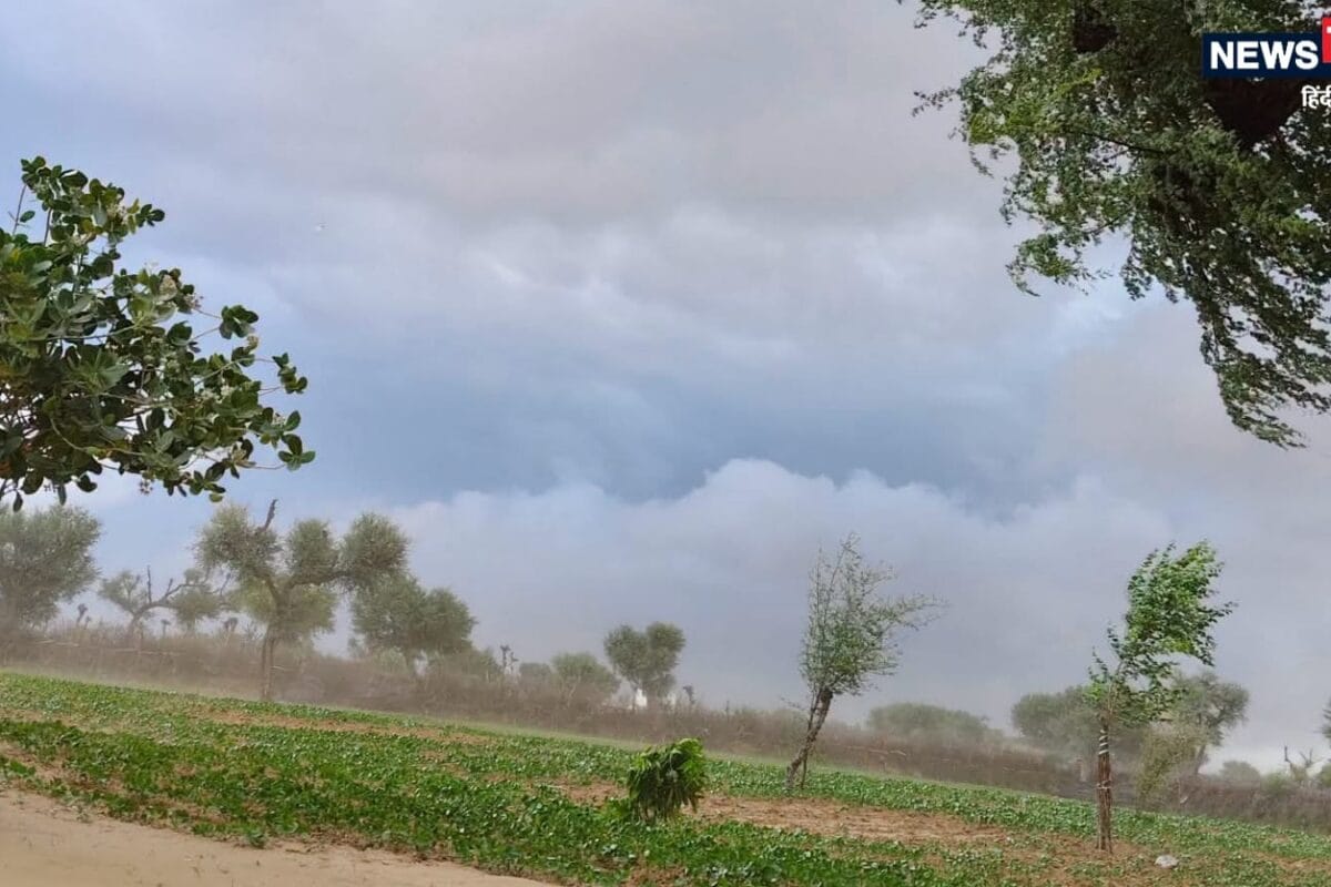
The Meteorological Center in Jaipur has officially issued a comprehensive weather update for Rajasthan, indicating significant shifts in climatic conditions across multiple divisions starting October 11. According to the latest scientific forecasts, residents across the state must prepare for a spell of unstable weather characterized by cloud cover, atmospheric disturbances, and localized precipitation systems developing rapidly across western and northern sectors.
This sudden atmospheric transition stems from upper-air cyclonic circulations and active western disturbances influencing the northwestern plains of the country. Historically, October marks a transitional phase in Rajasthan where retreating monsoon patterns occasionally interact with incoming western disturbances, creating localized instability, moisture accumulation, and sudden convective cloud formations over the Thar desert fringes and surrounding agricultural belts.
Detailed ground reports from the Meteorological Center highlight specific districts under immediate observation, notably Sri Ganganagar, Hanumangarh, and Churu, where heavy cloud bursts, lightning strikes, and strong surface winds are expected. Wind velocities are projected to reach between thirty to forty kilometers per hour, with specific gusts touching the forty kilometers per hour mark in Churu. Meanwhile, maximum temperatures continue to hover at elevated levels, with Pilani recording the highest temperature in the state over the past twenty-four hours at a scorching 38.8 degrees Celsius.
Agricultural experts, local traders, and rural communities are closely monitoring these climatic shifts due to their direct implications on standing Kharif crops and post-harvest operations. Farming cooperatives and regional market committees have expressed concern over potential crop damage if unseasonal rains coincide with the ongoing harvesting season, prompting calls for expedited storage of harvested grains and protective measures for open-air market yards.
The regional impact extends beyond the northern frontiers, touching the Kotputli-Behror district vicinity and neighboring Jaipur division, where residents can expect overcast skies and isolated light showers. Local businesses, daily commuters, and urban transport networks in these expanding semi-urban centers are bracing for potential disruptions caused by sudden downpours, slippery roads, and temporary visibility reductions during peak transit hours.
In response to the recurring weather warnings, district administrations and disaster management cells across the affected zones have activated standard operating procedures to ensure public safety. Local civic bodies have been instructed to inspect drainage systems, secure outdoor hoardings, and issue advisory bulletins through local media networks to caution travelers, motorists, and rural laborers against taking shelter under isolated trees during thunderstorms.
Looking ahead, the meteorological department anticipates another active spell of weather on October 13 and 14, bringing a renewed round of rainfall to parts of the Bikaner division and Shekhawati region. Public authorities and administrative units remain on high alert, advising citizens to stay updated through official weather bulletins and exercise caution while navigating through vulnerable roadways during the prevailing weather disturbances.