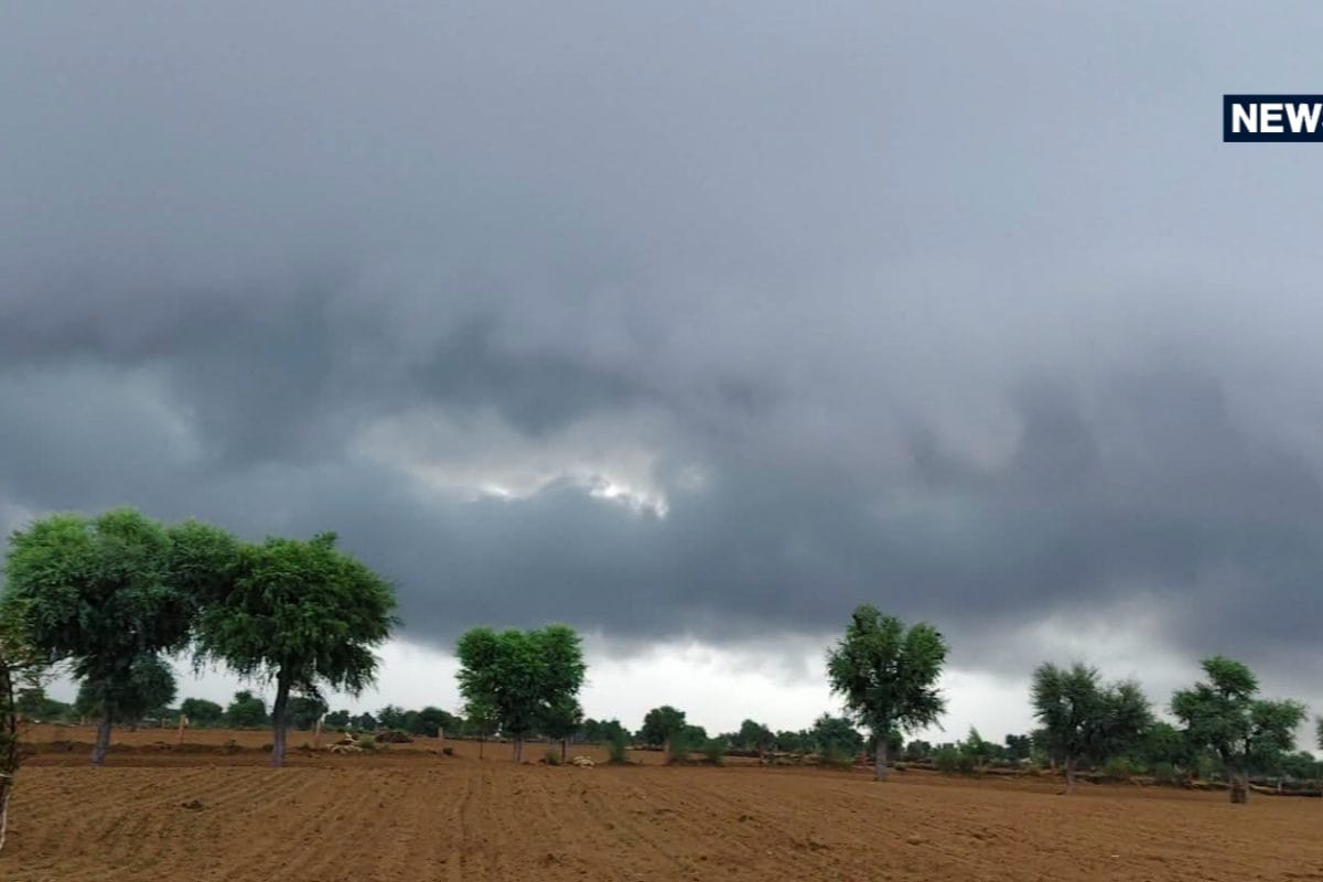
Rajasthan is once again bracing for a notable shift in meteorological conditions as a fresh western disturbance makes its entry into the region. Ahead of the anticipated onset of winter, weather patterns across northern and western parts of the state are undergoing a swift transition, prompting the India Meteorological Department to issue targeted alerts for heavy cloud cover and precipitation. The localized climatic disturbance is primarily impacting districts situated in the upper northern and western stretches, introducing an abrupt break in the prolonged dry spell that has characterized the preceding weeks.
The current atmospheric alteration stems from the activation of western disturbance systems that frequently influence northwestern India during transitional months. Historically, these systems travel eastward from the Mediterranean region, bringing moisture-laden winds that interact with local topography. In the context of Rajasthan, this meteorological phenomenon often results in sudden cloud formations, localized thunderstorms, and erratic rainfall patterns, which play a crucial role in altering diurnal temperature ranges across the Thar Desert and surrounding agrarian belts.
Detailed ground reports from meteorological observatories indicate significant variance in weather parameters across various regional divisions. Over the past 24 hours, Bikaner recorded 4.4 millimeters of rainfall, marking a tangible shift in local precipitation records. Conversely, extreme heat persisted in certain western pockets, with Jaisalmer registering a high temperature of 39 degrees Celsius. This stark contrast underscores the complex regional dynamics currently prevailing across the state, where localized rain coexists with lingering high day-temperatures in desert border districts.
Local stakeholders, particularly agricultural communities and grain merchants, have expressed immediate concern regarding the unexpected meteorological shift. Farming representatives note that the forecast of rainfall and thunderstorm activity poses logistical challenges for harvested crops left in the open fields. Agricultural extension officers have intensified outreach, urging cultivators to implement immediate protective measures by securing harvested grains under tarpaulins or moving them to enclosed storage facilities to prevent moisture damage.
The regional impact of this western disturbance extends across multiple districts, notably impacting agricultural productivity and daily commerce in areas such as Sriganganagar, Hanumangarh, Churu, and Bikaner. Residents in these zones are experiencing overcast skies accompanied by gusty winds blowing at speeds ranging from 30 to 40 kilometers per hour, alongside sporadic light showers and localized thunder. Meanwhile, contrasting weather conditions prevail further south and east, where major urban and commercial centers including Jaipur, Kota, and Udaipur continue to experience predominantly dry weather conditions.
In response to the sudden advisory, local administrative bodies and disaster management cells are maintaining active coordination to monitor localized weather updates and ensure timely dissemination of advisories to rural communities. District authorities have instructed agricultural extension departments to remain vigilant and assist farmers in safeguarding their agricultural produce against unexpected downpours. Statutory oversight mechanisms are currently focused on minimizing potential losses to grain yields across vulnerable rural sectors.
Looking ahead, the India Meteorological Department anticipates that the current spell of atmospheric instability will be short-lived, with rainfall activities expected to recede significantly starting October 25. As the western disturbance moves eastward out of the region, skies are projected to clear progressively, allowing a return to stable dry weather patterns and paving the way for a gradual decline in night temperatures across the state in the coming weeks.