
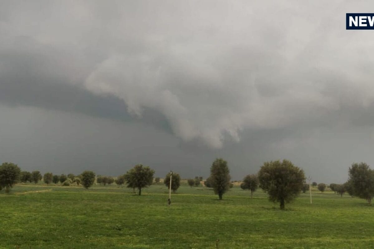
Rajasthan is currently bracing for a significant meteorological shift as the monsoon regains aggressive momentum, prompting authorities to issue a high-level weather alert across thirty-five districts of the state. The Meteorological Center in Jaipur has formally confirmed that atmospheric conditions have turned highly favorable for widespread precipitation, threatening to disrupt daily life, transportation, and routine agricultural activities from mid-September onward. This sudden resurgence marks a dramatic turn in local weather patterns, catching residents and local administrators off guard as heavy downpours threaten to inundate vulnerable rural and urban settlements alike.
The underlying origin of this intense weather activity can be traced directly to a well-defined low-pressure system currently hovering over the southern region of Chhattisgarh, coupled with an active monsoon trough that is systematically passing right through the heart of Rajasthan. Meteorological experts note that this dynamic convergence of atmospheric moisture and wind patterns has revitalized rain-bearing clouds, directing them straight toward the arid and semi-arid expanse of the state. Historical weather data indicates that such late-season low-pressure configurations frequently deliver substantial volumes of rainfall, significantly altering the cumulative precipitation statistics for the monsoon season.
According to official meteorological updates, the active spell is projected to severely impact numerous regions starting from thirteenth September, with intense spells anticipated to persist through sixteenth September across diverse districts. The spatial distribution of the rainfall warning encompasses thirty-five districts, making it one of the most extensive weather alerts issued during this monsoon cycle. Specific administrative divisions including Jaipur, Bharatpur, Kota, Udaipur, and Ajmer are expected to witness widespread showers, while the downpour is forecasted to reach moderate to heavy intensities particularly within the Kota and Udaipur divisions during thirteenth and fourteenth September.
Local governance authorities, disaster management cells, and agricultural extension agencies are closely monitoring the evolving situation as administrative preparations ramp up to mitigate potential hazards. The Meteorological Center has specifically highlighted districts such as Banswara, Baran, Dungarpur, Jhalawar, Pratapgarh, and Salumbar as high-risk zones facing imminent threats of heavy rainfall accompanied by dangerous cloud-to-ground lightning, thunderous activity, and hostile surface winds gusting between thirty to forty kilometers per hour. These severe atmospheric disturbances pose substantial risks to standing Kharif crops, fragile rural infrastructure, and local livestock management across the affected territories.
The regional impact of this vigorous weather system is anticipated to resonate deeply within local economies, particularly affecting agrarian communities who depend heavily on favorable seasonal conditions for crop maturation. While adequate moisture is generally welcomed for late-season agricultural yield, excessive rainfall, thunderstorms, and violent wind gusts spanning thirty to forty kilometers per hour can lead to severe crop lodging and localized flooding in low-lying agricultural tracts. Local market traders, transport operators, and rural laborers in regions like Jaipur, Kota, and Udaipur are already adjusting their logistical schedules to cope with impending transport disruptions and potential road blockages caused by waterlogging.
In response to the escalating weather alerts, disaster response frameworks across the thirty-five targeted districts have been placed on heightened alert to manage any emergent crisis resulting from continuous heavy downpours and lightning strikes. District collectors, police departments, and civil defense units are coordinating proactive measures to ensure public safety, clear drainage systems, and provide timely warnings to communities residing near vulnerable riverbanks or low-lying zones. Officials have reiterated the importance of public adherence to safety advisories issued by the Meteorological Center in Jaipur, urging citizens to avoid seeking shelter under isolated trees during lightning storms and to secure loose outdoor structures against strong winds.
Looking ahead, the meteorological outlook indicates that wet weather conditions will continue to dominate large parts of eastern and western Rajasthan, including the Jodhpur and Bikaner divisions, from thirteenth to sixteenth September. Citizens and administrative stakeholders are advised to remain vigilant as Udaipur, Kota, and surrounding regions experience the peak intensity of this monsoon phase over the coming days. Continuous monitoring by the Meteorological Center in Jaipur will provide updated advisories, ensuring that the public remains informed while navigating the administrative and logistical challenges posed by this significant weather event.