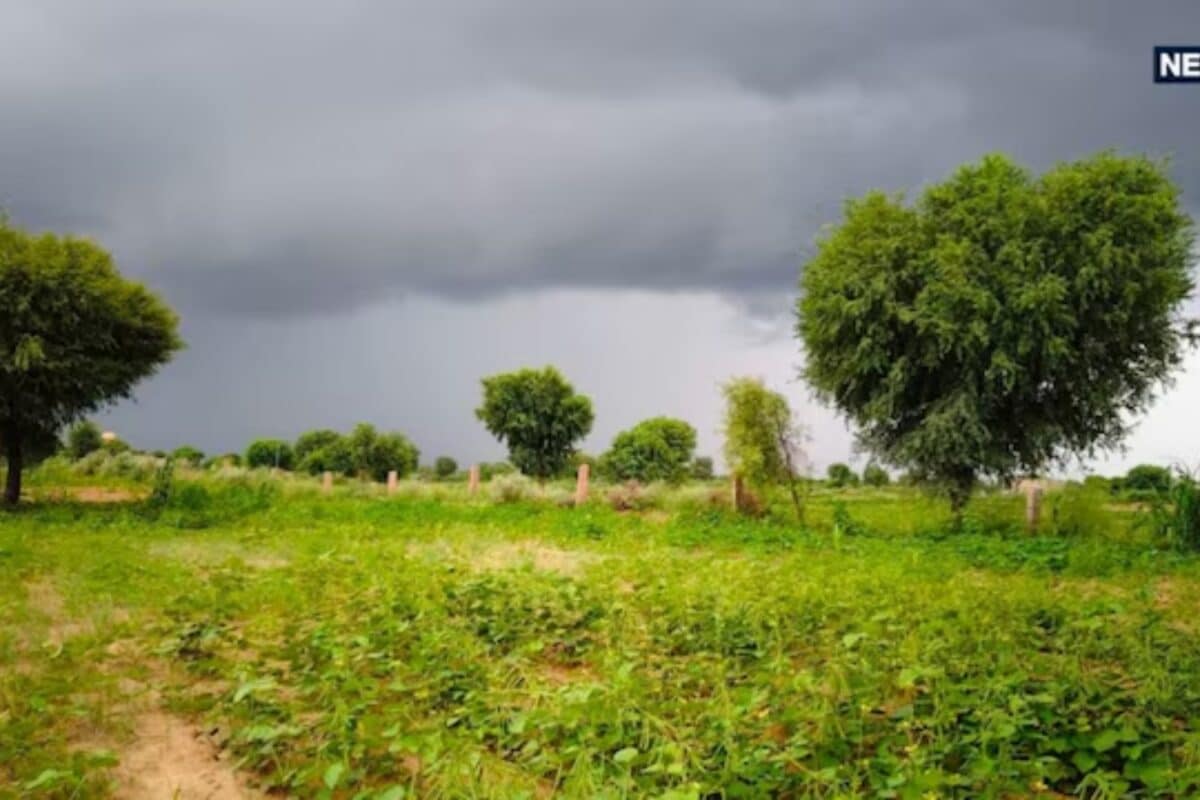
The weather pattern across Rajasthan is undergoing a significant and abrupt shift, prompting the Indian Meteorological Department (IMD) Jaipur center to issue a comprehensive weather alert. According to the latest official meteorological updates, multiple divisions within the state are bracing for severe atmospheric disturbances characterized by thunder, high-velocity winds, heavy downpours, and potential hailstorms spanning from October 14 to October 16.
This sudden climatic transformation stems from active western disturbances interacting with regional topographical factors, bringing moisture-laden winds across northern and western parts of the territory. Historically, such transitional weather phases during mid-October serve as critical markers of shifting seasonal boundaries, heavily influencing agrarian cycles and rural economies throughout the affected districts.
The current meteorological projections specifically highlight Bikaner, Jaipur, Sri Ganganagar, Hanumangarh, Churu, Nagaur, Phalodi, and Bharatpur divisions as high-risk zones. The convergence of these weather systems poses substantial operational challenges to agricultural communities, particularly concerning grain procurement centers and fields where agricultural produce lies exposed under the open sky awaiting storage or transport.
Agricultural authorities, meteorological experts, and district stakeholders have expressed deep concern regarding the safety of standing and harvested crops. In response to the impending crisis, specialized agrometeorological advisories have been disseminated across rural sectors, urging farmers to adopt immediate preventive measures to safeguard agricultural yields from moisture damage and hail destruction.
Within the local context of the broader regional network, including the Kotputli area, communities are closely monitoring these weather bulletins. The potential disruption to local trade, transport logistics, and daily routines remains a key concern for residents as heavy precipitation threatens urban infrastructure and rural agrarian operations alike.
Administrative machinery across the vulnerable divisions has been placed on high alert to tackle any emergency situations arising from waterlogging, lightning strikes, or wind damage. Local district disaster management cells are coordinating with meteorological field units to ensure timely dissemination of warnings to remote villages and vulnerable farming communities.
Looking ahead, the meteorological department anticipates a gradual stabilization of atmospheric conditions. Weather models clearly indicate that following October 16 and October 17, the state will experience a return to predominantly dry and clear skies, allowing farmers to resume normal agricultural activities and harvest operations without further climatic hindrance.