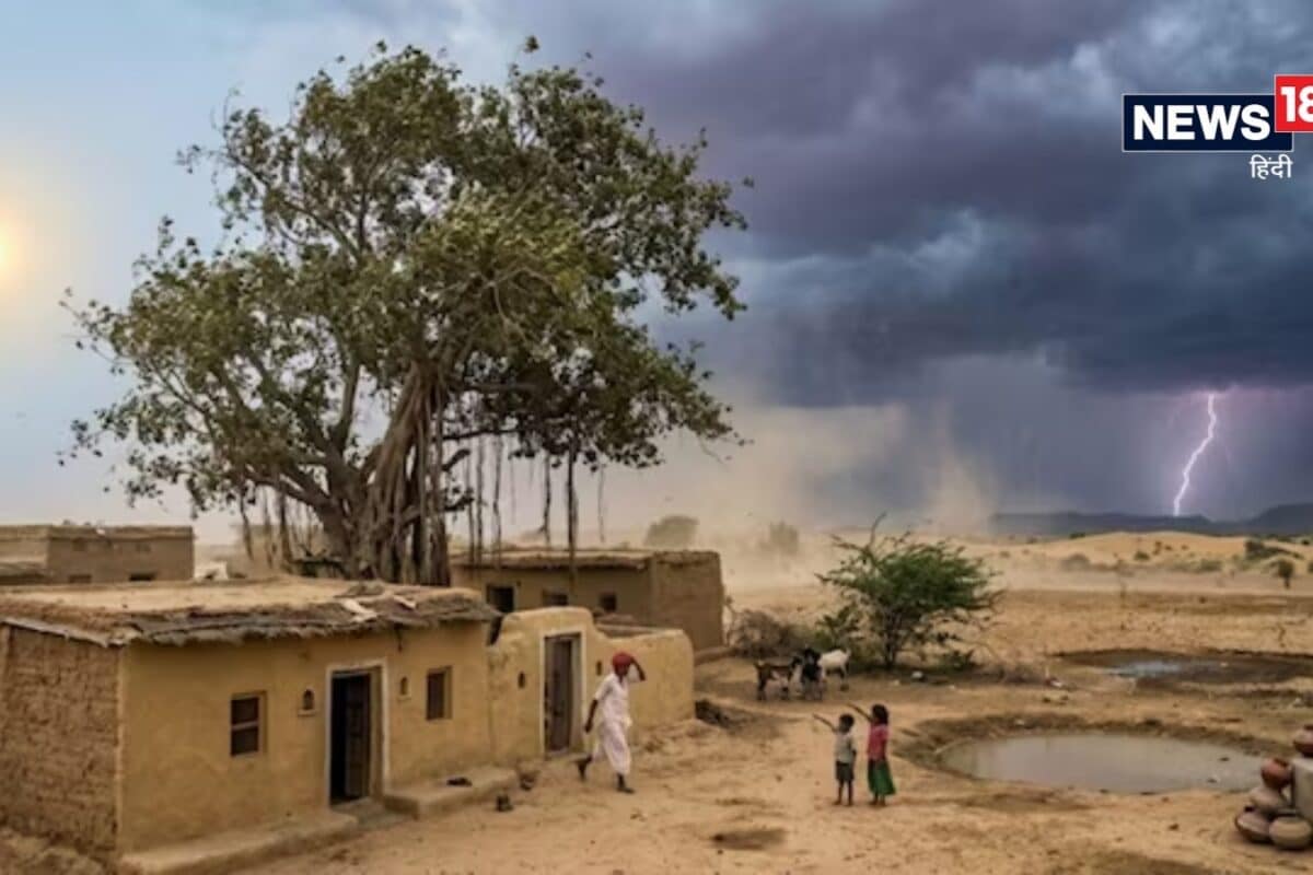
A fresh meteorological development is currently unfolding across the state of Rajasthan as a new western disturbance officially becomes active, bringing notable shifts in regional weather patterns. According to the latest observations, this atmospheric system is projected to introduce specific changes to atmospheric moisture and cloud cover starting on 24 October. While large parts of the territory prepare for these shifts, administrative units and meteorological watchers are keeping a close eye on the developing situation across the affected divisions.
Historically, western disturbances play a significant role in modulating the late-monsoon and post-monsoon climatic profile of northwestern India. Originating in the distant Mediterranean region, these eastward-moving weather systems routinely bring moisture-laden winds across the Iranian plateau and Pakistan before reaching the desert state of Rajasthan. The current activation on 24 October follows a seasonal trajectory that frequently influences regional temperatures, agricultural planning, and localized hydrological balances during this specific time of the year.
As per the meteorological breakdown for 24 October, the geographical distribution of the weather activity will be notably bifurcated across the state. The divisions of Bikaner and Jodhpur are slated to experience the primary impact, featuring isolated pockets of light rainfall accompanied by localized thunderous activity. In stark contrast, the expansive territories of eastern Rajasthan are anticipated to remain entirely dry, ensuring an undisturbed meteorological environment for ongoing regional activities and daily routines in those specific sectors.
Local communities, agricultural practitioners, and regional stakeholders within the Bikaner and Jodhpur divisions are closely monitoring the unfolding weather developments on 24 October. Farming cooperatives and rural laborers in these zones are evaluating how isolated precipitation and cloud cover might influence ongoing agricultural tasks, post-harvest drying processes, and seasonal sowing preparations. Traders and logistics operators traversing the western corridors are also factoring in potential visibility drops and localized weather shifts during their daily transit schedules.
The regional impact of this active western disturbance holds particular relevance for communities across western districts, where localized weather phenomena directly dictate rural livelihoods and resource management. Although eastern Rajasthan remains dry, the contrast in atmospheric behavior highlights the diverse geographical micro-climates inherent to the state. Local authorities and community leaders are sharing precautionary advisories to ensure residents remain informed about the localized thunderous spells expected in the western sectors.
Administrative bodies and disaster management cells across the Bikaner and Jodhpur divisions remain on alert to address any infrastructural or logistical challenges stemming from the predicted meteorological activity on 24 October. District administrations are coordinating with local monitoring posts to track precipitation levels and ensure that public utilities remain unaffected by sudden cloudbursts or lightning risks associated with active western disturbances. Continuous oversight guarantees that community safety is prioritized throughout the duration of the weather system.
Looking ahead past 24 October, meteorological experts project that the influence of this western disturbance will gradually dissipate, allowing normal weather patterns and clear skies to return to the Bikaner and Jodhpur divisions. Regional planners and agricultural departments are advised to utilize the data collected from this atmospheric event to refine future advisory mechanisms. As the state transitions through these seasonal weather shifts, public awareness and administrative preparedness will remain central to mitigating any minor disruptions caused by the transient atmospheric system.