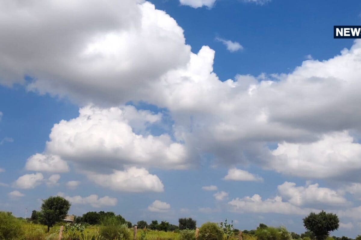
The meteorological department has officially reported that dry weather conditions continue to dominate the entire state of Rajasthan. According to the latest bulletins issued by the Meteorological Center in Jaipur, neither eastern nor western regions of Rajasthan are currently under any alert for rainfall, heavy thunderstorms, or hailstorms.
Analyzing the broader climatic patterns influencing the state, atmospheric scientists note the presence of upper-air cyclonic circulations hovering around south-west Rajasthan and adjoining regions of north Haryana. Despite these atmospheric formations, localized moisture levels remain insufficient to trigger precipitation, keeping the overarching weather regime remarkably stable.
Detailing the temperature extremes recorded across various districts, weather stations documented significant heat intensity in specific pockets. Notably, on Wednesday, the highest maximum temperature across the entire state was recorded in Barmer, touching a sweltering 38.8 degrees Celsius, reflecting persistent warm conditions in the western desert belt.
Agricultural experts and local community members across the region are closely monitoring these temperature fluctuations and moisture levels. While the current dry spell assists in certain harvesting activities, farmers remain watchful of soil moisture depletion due to sustained high temperatures during daytime hours.
Examining the micro-climatic implications for local regions, including Kotputli and surrounding districts, the prevailing dry conditions ensure uninterrupted daily routines and transport networks. Local commerce and daily trade operations proceed smoothly without weather-induced disruptions or infrastructural hindrances.
Administrative departments and disaster management authorities maintain standard vigilance, noting that the Meteorological Center in Jaipur and the India Meteorological Department continue round-the-clock monitoring of atmospheric developments. No emergency administrative interventions have been necessitated thus far due to the benign weather conditions.
Looking forward toward the immediate horizon, weather charts indicate a potential transition starting October 24. A new western disturbance is projected to impact north-west India, bringing a notable shift in meteorological parameters. Under its influence, isolated pockets within the Bikaner division and surrounding areas may witness light rainfall accompanied by thundershowers and gusty surface winds blowing at speeds ranging from 30 to 40 kilometers per hour over the coming days.