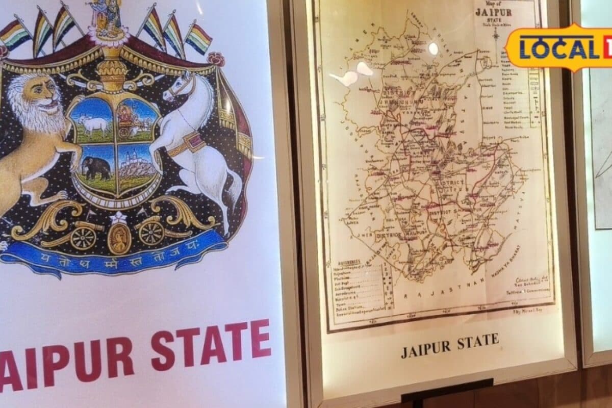
Long before the advent of satellite navigation and digital tools like Google Maps, the geographical expanse of Rajasthan possessed a vastly different identity and administrative configuration. According to recent insights from Rajasthan History News, the period preceding India's independence presented a political landscape defined by a mosaic of princely states, sovereign principalities, and distinct administrative units rather than a unified state boundary. These cartographic records serve as invaluable historical documents for researchers, historians, and citizens eager to understand the evolution of the region's territorial boundaries.
During this bygone era, the region collectively known as Rajputana was not a monolithic entity but rather a complex federation of numerous sovereign and semi-autonomous states. Each princely state maintained its own distinct administrative framework, judicial system, taxation policy, and cartographic documentation. The primary maps of these principalities were meticulously drafted by surveyors, cartographers, and colonial administrators to document borders, trade routes, military outposts, and natural resources, reflecting the geopolitical priorities of the nineteenth and early twentieth centuries.
A rigorous examination of these historical maps highlights the stark contrast between contemporary geographical boundaries and the fragmented layout of the past. The regional dimensions, interstate borders, and territorial access points recorded in these archives demonstrate how connectivity and governance operated without modern infrastructure. Scholars studying these primary sources note that the demarcation of boundaries between neighboring princely states often relied on natural landmarks such as rivers, hill ranges, and traditional agricultural markers rather than rigid mathematical coordinates.
Historians, archivists, and cultural preservationists emphasize that analyzing these antique maps is essential for educational and research purposes. Experts point out that the political geography of Rajputana directly influenced the socio-economic interactions, cultural exchanges, and trade patterns of local populations. By studying the administrative units depicted in these historical charts, contemporary society gains a profound appreciation of the administrative consolidation that eventually shaped modern Rajasthan following independence and the subsequent integration processes.
The relevance of these historical cartographic studies extends deeply into regional awareness, particularly for areas undergoing rapid modernization and administrative restructuring. Communities across the region, including local educational institutions and cultural bodies, increasingly value exhibitions and digital archives showcasing these rare maps. Understanding the pre-independence layout fosters a stronger sense of historical continuity and heritage awareness among the younger generations residing in historical hubs and emerging districts alike.
Institutional archives, state libraries, and specialized research centers continue to play a pivotal role in preserving, digitizing, and authenticating these fragile cartographic treasures. Academic authorities and heritage conservation departments are implementing systematic protocols to safeguard ancient manuscripts and maps from environmental degradation. Such institutional oversight ensures that the physical evidence of Rajasthan's complex political evolution remains accessible for future scholarly investigations and public exhibitions.
Looking toward the future, historians and researchers advocate for wider public access to these digitized historical maps through digital platforms and museum displays. As contemporary society relies increasingly on instantaneous digital navigation, revisiting the hand-drawn and meticulously surveyed maps of Rajputana offers a humbling perspective on the region's historical geography. Public expectations remain high for continued educational programs that illuminate the fascinating journey of Rajasthan's territorial transformation from fragmented princely states into a unified geographical entity.