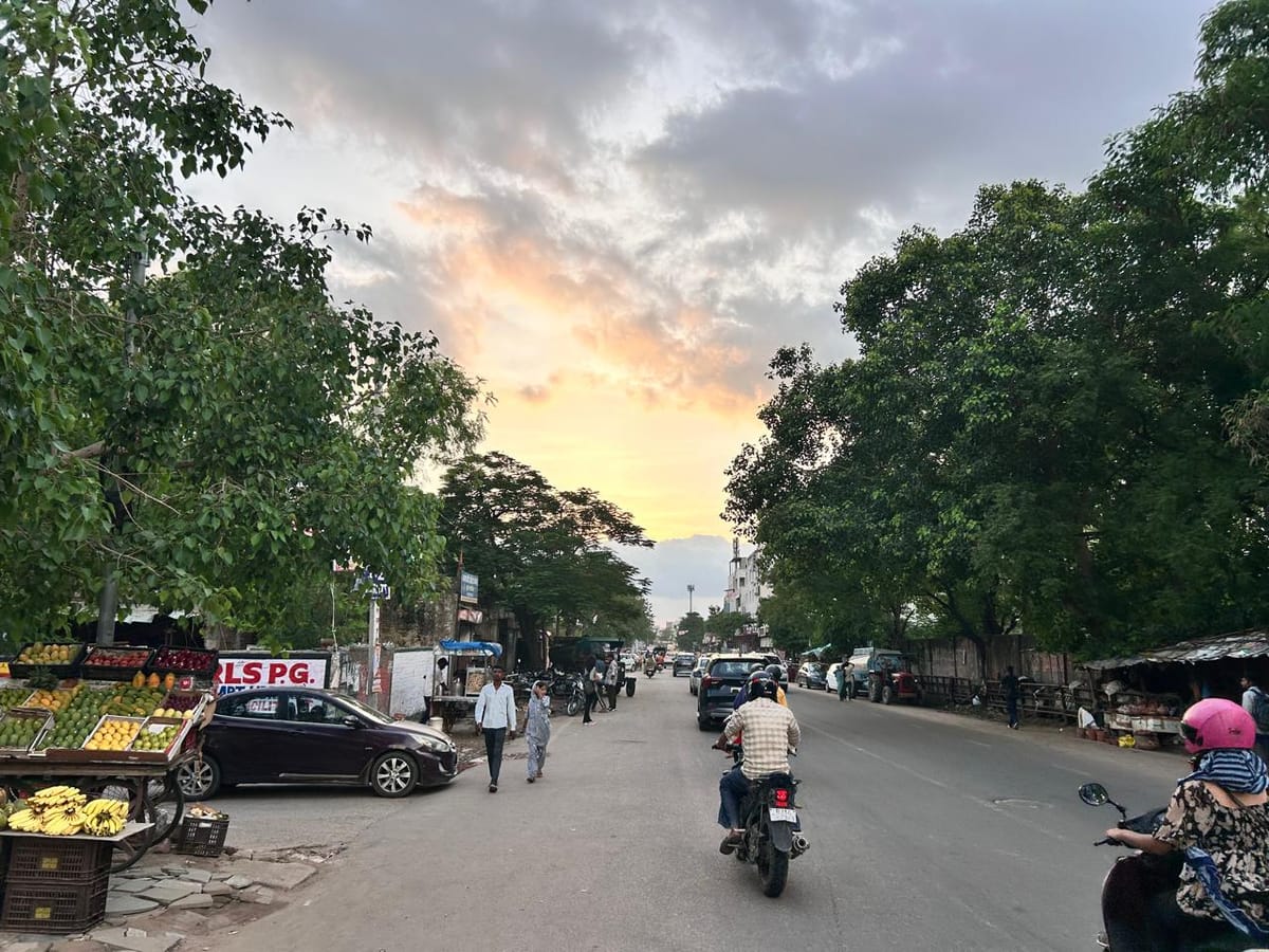
A dynamic and potent atmospheric system driven by a fresh western disturbance has officially entered the geographical expanse of Rajasthan, triggering significant weather alterations across multiple territories. Meteorological observatories confirm that atmospheric pressure variations are rapidly reshaping local climatic patterns, bringing immediate concern regarding sudden precipitation and blustery conditions. Residents across the affected zones woke up to overcast skies and an unusual chill, signaling the transition into a more severe phase of seasonal cooling.
Western disturbances historically originate over the Mediterranean region and travel eastward towards the Indian subcontinent, bringing winter precipitation to northern and northwestern states like Rajasthan. Over the years, these climatic phenomena have served as primary drivers for winter rainfall, heavily influencing agricultural cycles, groundwater replenishment, and ambient temperatures. The current weather system represents a continuation of this seasonal trend, amplifying atmospheric instability and setting the stage for widespread meteorological shifts.
As per the latest updates from meteorological authorities, precisely six districts within the state are directly in the trajectory of this weather disturbance, facing imminent downpours. Furthermore, meteorological instruments have recorded projections indicating that surface winds will accelerate aggressively, reaching speeds of up to forty kilometers per hour in vulnerable open tracts. These high-velocity winds pose localized challenges for daily commuting, power transmission infrastructure, and unharvested agricultural produce awaiting storage or transport.
Agricultural experts, local merchants, and daily commuters have expressed mixed reactions as they navigate the immediate disruptions caused by the sudden shift in weather parameters. Farmers within the targeted districts have shared apprehensions regarding potential crop lodging and moisture damage to vulnerable fields, while urban traders note a temporary slowdown in outdoor commercial activities. Community representatives emphasize the necessity of timely advisories from agricultural extension services to mitigate any prospective economic losses incurred by rural households.
Within the specific micro-climate of the broader region, including surrounding rural and semi-urban belts, the drop in temperature is projected to be particularly sharp during late evening and early morning hours. Local economies heavily dependent on seasonal agricultural patterns are closely watching the skies, as adequate soil moisture can benefit certain Rabi crops, provided excessive rainfall or hailstorms do not materialize. Civic bodies and local market associations are coordinating to ensure public safety in light of the predicted gusty winds.
District administrative bodies and disaster management cells across the six impacted districts have initiated proactive monitoring protocols to address any emergencies arising from the inclement weather. Municipal corporations and power distribution utilities have placed maintenance crews on standby to swiftly rectify disruptions in electricity supply caused by tree branches or debris impacting overhead lines. Emergency response teams remain in constant communication with state headquarters to relay real-time data regarding precipitation levels and wind velocity.
Looking ahead, meteorological experts anticipate that the active phase of this western disturbance will persist over the next twenty-four to forty-three hours before gradually dissipating toward the eastern horizon. Public health officials advise vulnerable populations, including the elderly and young children, to take necessary precautions against the sudden intensification of nighttime chill. Continued monitoring by regional weather stations will provide clearer timelines for eventual stabilization and the subsequent return of clearer skies.