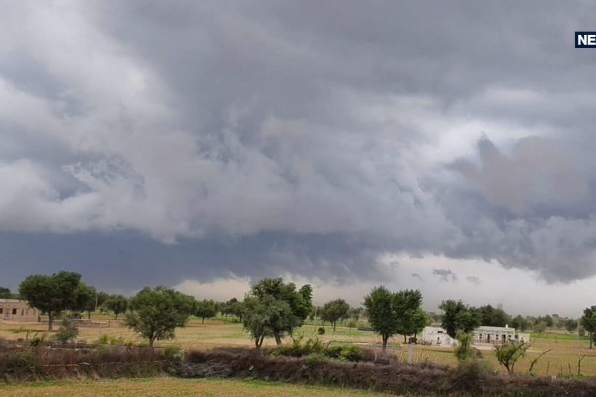
Residents across Rajasthan are bracing for a notable transition in weather patterns starting October 10, as an anticipated upper-air cyclonic circulation takes shape over northwestern Rajasthan and adjoining areas. This meteorological shift brings a temporary respite from the prevailing heat for specific pockets of the state, although the overall atmospheric conditions will remain largely dry across the majority of administrative divisions. The India Meteorological Department has issued detailed advisories outlining the trajectory and intensity of these impending weather developments.
The genesis of this weather system lies in the atmospheric dynamics developing over the northwestern territory, which frequently induces localized rainfall during transitional seasonal phases. Historically, such circulation systems draw moisture from surrounding regions, resulting in localized precipitation accompanied by gusty surface winds. While these phenomena are relatively common during the post- monsoon withdrawal phase, their exact localization and intensity require meticulous monitoring by meteorological experts to provide timely updates to the public.
According to the latest bulletins released by the weather bureau, six specific districts—namely Bikaner, Sri Ganganagar, Hanumangarh, Churu, Sikar, and Jhunjhunu—are projected to witness light to moderate rainfall spells between October 10 and October 11. During this active weather window, surface winds are expected to blow at sustained speeds ranging between 30 to 40 kilometers per hour. Furthermore, certain areas within the Jaipur division are also anticipated to experience sporadic rainfall activities, though widespread precipitation across the entire state is not on the immediate horizon.
Agricultural communities, traders, and local stakeholders are closely tracking these developments, given the vulnerability of agricultural produce currently lying in open yards. With strong winds accompanying the predicted precipitation, farming cooperatives and market committees have intensified their advisories regarding safe storage practices. Local administrative bodies are urging farmers to utilize tarpaulins and covered sheds to protect harvested grains from potential moisture damage during the active spells on October 10 and 11.
Looking at the broader regional distribution, the weather forecast indicates a stark contrast across various divisions of the state. While the northwestern districts prepare for wet spells, major parts of the Jodhpur, Udaipur, Kota, Ajmer, and Bharatpur divisions are expected to maintain completely dry weather conditions throughout this period. This regional variation underscores the localized nature of the current meteorological disturbance, preventing any uniform statewide weather pattern from establishing itself over the coming days.
Administrative authorities and disaster management cells are maintaining standard vigilance, reviewing local preparedness to manage any minor disruptions caused by the gusty winds and sudden downpours. Municipal bodies in the affected districts have been alerted to clear drainage networks and secure vulnerable outdoor installations. Although no severe weather warnings or extreme disaster alerts have been issued, local officials remain on standby to assist agricultural communities if localized waterlogging or crop exposure issues arise.
Looking ahead, the meteorological department predicts that the weather will stabilize significantly by October 12, with conditions turning dry across the vast majority of the state. However, atmospheric instability may experience a minor resurgence shortly thereafter, bringing another spell of isolated light rainfall to parts of the Bikaner division on October 13 and 14. Citizens and agricultural operators are advised to stay updated through official channels and local forecasts to navigate these shifting weather patterns effectively.