
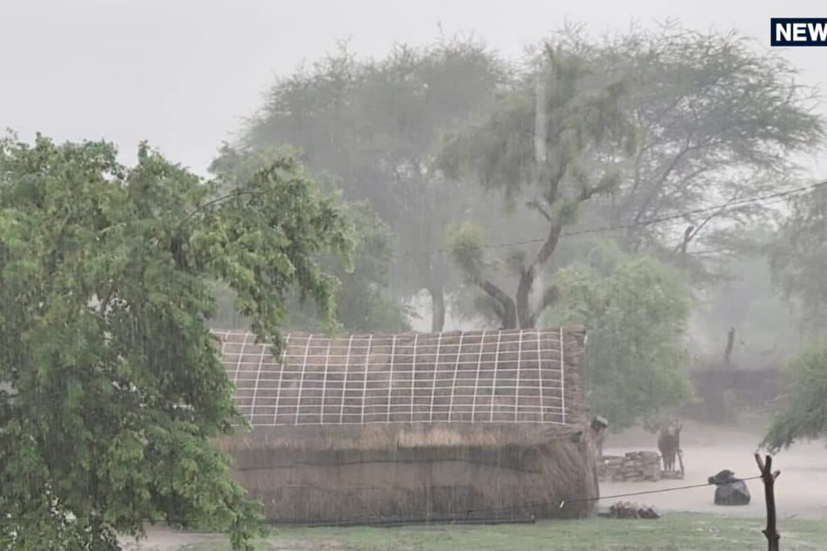
The meteorological landscape of Rajasthan has entered a phase of intense weather activity as the monsoon maintains its vigorous momentum across the state. According to latest weather advisories, widespread precipitation accompanied by stormy conditions is projected to sweep across multiple regions over the coming days. The primary catalyst for this sudden meteorological shift is a well-marked low-pressure area currently situated over southwestern Madhya Pradesh and adjoining northern Vidarbha, which is progressively tracking towards Rajasthan.
Understanding the historical context of late-monsoon patterns in the region reveals that low-pressure systems originating from central India frequently induce heavy spells of rainfall across western and eastern parts of the state. As this weather system interacts with existing local atmospheric conditions, its influence is significantly magnifying moisture incursions from surrounding areas. Consequently, meteorological experts have projected that the atmospheric turbulence will peak around 14 September, affecting extensive territorial zones.
The administrative and logistical stakes of this weather warning are exceptionally high, encompassing a total of 35 districts across the state. Specific quantitative assessments indicate that wind speeds could dramatically escalate, reaching perilous velocities of 60 to 70 kilometers per hour in severely impacted zones. Furthermore, temperature recordings reflect regional climate disparities, with Shri Ganganagar registering the state's highest maximum temperature at 39.9 degrees Celsius despite the overarching wet spell.
Local stakeholders, including agricultural communities, local traders, and municipal authorities, have expressed serious concerns regarding the potential disruption to daily economic activities and standing crops. Agricultural specialists have advised farmers to take immediate precautionary measures to safeguard harvested grains and protect sensitive agricultural fields from waterlogging and high-velocity winds that threaten crop stability during this crucial phase of the agricultural calendar.
The regional impact of this active weather system is particularly profound across eastern and southern zones, where heavy downpours are anticipated to disrupt routine transit and public utilities. Districts including Ajmer, Bharatpur, Udaipur, Jaipur, Bhilwara, Sawai Madhopur, Baran, Kota, Pali, and Bikaner are specifically mentioned in the high-alert advisories. Additionally, western districts such as Balotra, Barmer, Jalore, Jodhpur, Nagaur, and Pali face distinct threats of severe thunderstorms accompanied by lightning.
In response to the escalating weather threats, administrative authorities and disaster management cells across the affected districts have initiated precautionary protocols. Emergency response teams remain on standby to manage potential waterlogging, urban flooding, and infrastructural damages caused by falling trees or power lines. District administrations are coordinating closely with meteorological monitoring units to provide timely updates and ensure public safety measures are rigorously enforced.
Looking ahead, the immediate weather outlook remains volatile as the active monsoon spell is expected to persist through the middle of the month, specifically between 13 and 15 September, with Udaipur division and surrounding areas experiencing moderate to heavy rainfall spells. Citizens and commuters are strongly advised to remain updated through official bulletins, exercise extreme caution during travel, and avoid venturing into vulnerable outdoor locations during peak storm hours.