The Meteorological Department has issued a comprehensive weather update indicating significant climatic shifts across Rajasthan during the second week of October. As the state navigates through fluctuating atmospheric conditions, current daytime maximum temperatures are hovering between 37 and 39 degrees Celsius in several urban centers, maintaining persistent warmth across the region. However, a developing weather pattern is projected to alter these conditions dramatically over the upcoming 48 hours, bringing much-needed relief from the intense heat.
According to official observations from the India Meteorological Department, the weather across the state is expected to remain largely dry and clear on 9 October. This temporary stability serves as a precursor to a more active weather system moving into northwestern Rajasthan and the Shekhawati region. The historical context of this transitional phase points toward the withdrawal of monsoon currents and the onset of pre-winter atmospheric disturbances that typically affect northern and northwestern parts of the country during this period.
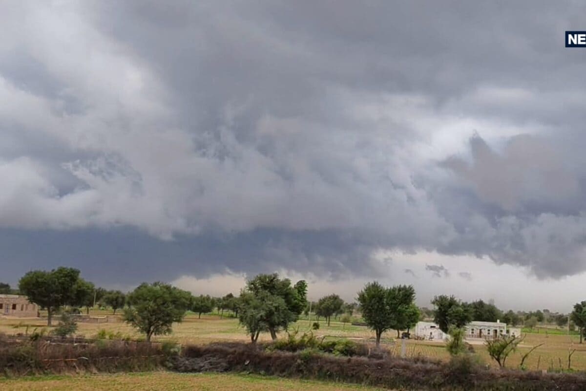
The core of this meteorological activity is slated for 10 and 11 October, during which specific districts will experience substantial atmospheric turbulence. The targeted zones include Bikaner, Sri Ganganagar, Hanumangarh, Churu, Sikar, and Jhunjhunu, alongside contiguous rural and urban peripheries. Meteorological projections indicate that skies will turn overcast, accompanied by sudden thunderstorms, lightning, and localized precipitation that will significantly impact daily routines and agricultural activities in these sectors.
Ground-level preparations are already underway as logistical and agricultural stakeholders evaluate the potential impacts of gusty winds expected to reach speeds of 30 to 40 kilometers per hour. Farmers and local traders in the affected districts have been advised to secure harvested crops and protect sensitive agricultural infrastructure against potential wind damage. The sudden onset of strong surface winds poses temporary logistical challenges for transportation and outdoor commercial operations across the Shekhawati belt.
Looking beyond the immediate spell of turbulence, regional impacts are anticipated to ripple through neighboring areas, including community interactions and local commerce. Citizens across the broader region are adjusting their daily schedules to account for the predicted meteorological shift. Local business owners report a mixed response, with some anticipating reduced footfall during peak storm hours, while others welcome the eventual cooling effect that will stimulate seasonal trade.
In response to the IMD advisories, district administrations and disaster management cells across the six identified districts have initiated preliminary reviews to ensure public safety. Local municipal bodies are monitoring drainage systems and clearing potential wind-hazard obstructions, while rural administrative units are disseminating safety warnings to farming communities. Although no formal emergency declarations have been issued, local officials remain on standby to coordinate rapid responses if weather conditions escalate beyond baseline projections.
Looking forward, the atmospheric models suggest a secondary spell of weather activity around 13 and 14 October, which may bring isolated pockets of light rainfall to select regions. More importantly, forecasters predict an anticipated drop of 2 to 3 degrees Celsius in overall maximum and minimum temperatures following these precipitation events. This progressive cooling trend is expected to decisively lower daytime discomfort and usher in a pleasant, cooler nighttime environment as October advances.