
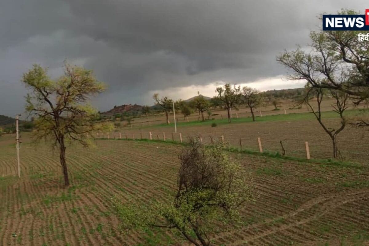
The southwest monsoon has entered its concluding phase across Rajasthan, characterized by a shifting weather pattern and a significant reduction in widespread rainfall activities. According to official bulletins issued by the India Meteorological Department (IMD), the monsoon is anticipated to withdraw completely from several additional parts of the state within the next two to three days. This seasonal transition marks the definitive end of the heavy downpour period, shifting the meteorological profile toward clearer skies and dry atmospheric conditions across most districts.
Historically, the late September transition period in Rajasthan involves a delicate balance between lingering moisture from the Bay of Bengal or the Arabian Sea and the advancing dry continental air masses from the northwest. This climatic interplay frequently generates localized convective activities rather than uniform state-wide precipitation. The current withdrawal phase aligns with the normal withdrawal timeline documented by meteorological records for the northwest region of the Indian subcontinent, signaling the onset of the post-monsoon transitional season.
In terms of immediate ground realities and specific weather metrics, the IMD has issued localized alerts for September 21. On this date, scattered rainfall is forecasted across the Kota, Udaipur, and Ajmer divisions. Furthermore, districts such as Baran, Jhalawar, Kota, and Pratapgarh are expected to experience gusty winds ranging between 30 and 40 kilometers per hour, accompanied by intense thunderous lightning and localized cloudburst phenomena. Conversely, the western divisions of Jodhpur and Bikaner will remain completely dry for the upcoming five to seven days.
Local stakeholders, particularly farmers and rural communities whose livelihoods depend directly on agricultural yields, are closely evaluating these weather updates. While the eastern parts of Rajasthan have experienced a brief spell of atmospheric activity, the vast majority of eastern regions will witness severely restricted rainfall over the next five to six days. Traders and local vendors in agricultural mandis are adjusting their logistical planning based on these meteorological forecasts to protect stored grains and manage crop transport effectively.
Examining the broader regional impact, peripheral areas and districts adjacent to the major meteorological divisions are experiencing alternate phases of humidity and dry spells. The local economy in these transitional zones relies heavily on predictable weather windows for the harvesting of late-kharif crops and the preparation of fields for the upcoming rabi sowing season. Agricultural extension officers have advised farming communities to utilize the current soil moisture efficiently while preparing for the prolonged dry spell ahead.
Administrative departments and district disaster management authorities have maintained a state of vigilance, reviewing preparedness protocols despite the scaling down of severe weather warnings. Emergency response teams remain stationed in vulnerable districts prone to sudden lightning strikes or high-velocity wind damage, ensuring public safety. Municipal bodies and local panchayats have been briefed on monitoring local drainage and infrastructure integrity during any unexpected short-duration downpours.
Looking toward the forward outlook and upcoming meteorological schedule, the weather department has outlined a detailed timeline for the remainder of the month. On September 22, isolated light rainfall may occur exclusively within the Udaipur division. A minor western disturbance is projected to influence northern areas, specifically Sri Ganganagar, Hanumangarh, northern Bikaner, and Churu, around September 25. Following this brief perturbation, weather conditions are expected to normalize completely across the state on September 26 and 27, before isolated, sporadic showers potentially revisit select pockets on September 29 and 30.